Fabio Dias
Recent projects
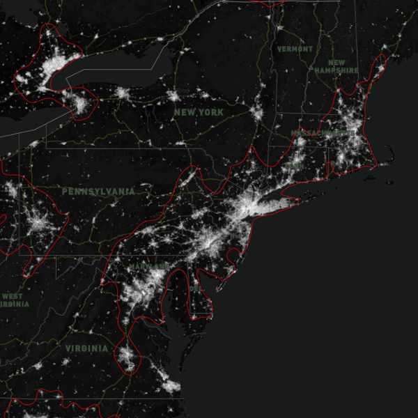
Nightlights
Using VIIRS data to detect urban conurbation between metropolitan regions.
Collaboration with: Patrick Adler and Richard Florida
Demo: link
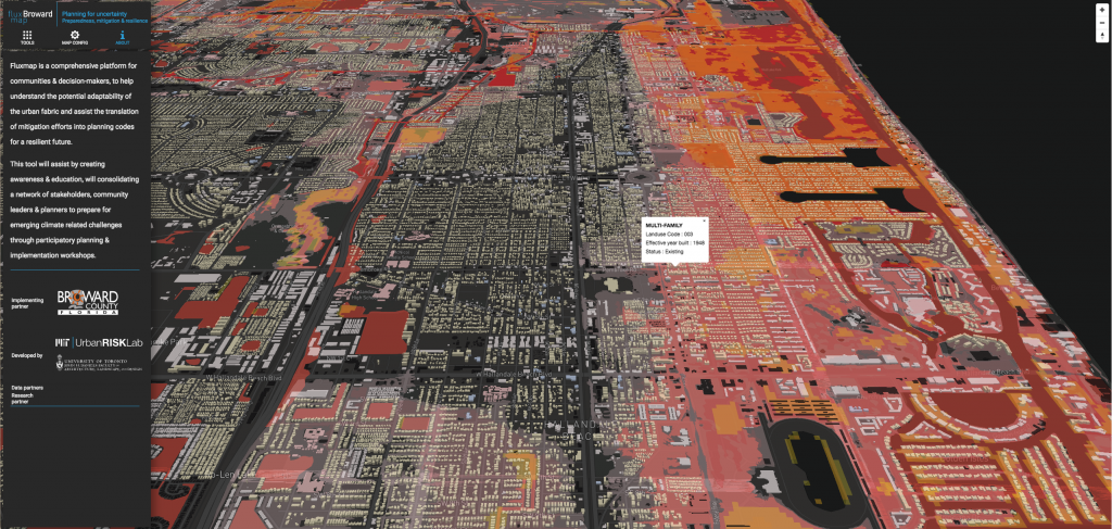
Fluxland
Collaboration with: MIT Urban risk lab, Fadi Masoud, Isaac Seah and a bunch of other people at MIT and UofT.
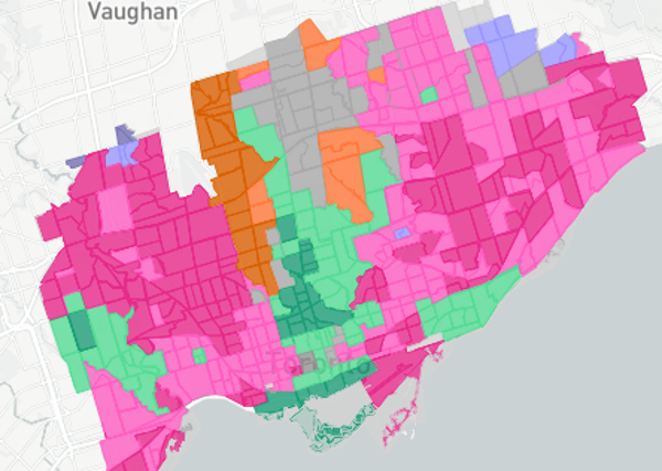
Piccard
Watershed on hypergraphs for data clustering
Clustering data represented as hypergraphs.
Collaboration with: Moussa R. Mansour, Paola Valdivia, Laurent Najman, and Jean Cousty
Paper: link
Education

Université Paris-Est, Champs-sur-Marne, France.

Institute of Computing - Unicamp, Campinas, Brazil.
Advisor: Prof. Neucimar J. Leite

Unicamp, Campinas, Brazil.
Advisor: Prof. Neucimar J. Leite
Experience

Cloud Developer

Postdoctoral Fellow
An UofT - Connaught Global Challenge project, with researchers from several areas, aiming to improve the understanding of the urban environment in its many facets. My role is to develop new visual analytics methods to enable the identification and dissemination of insights from urban data, to both professionals and the general public.

Postdoctoral fellow
Development of visual analytics systems for urban data and creation of new data clustering methods.

Postdoctoral fellow
Visual analytics for network data, including project management, team coordination, and mentoring.

Systems Analyst
Development of a WebGIS / visual analytics system for the TerraClass project, disseminating knowledge about land use and deforestation in the Amazon Forest.

Postdoctoral fellow
Human motion analysis for underwater sports, camera calibration methods for underwater capture, new methods for asynchronous marker reconstruction, methods for markerless tridimensional pose recovery.

Research Assistant
Signal processing in digital structures. New theory and methods for signal processing in graphs and meshes, applications in the digitization efforts of the French National Library.
Visual analytics and data science
Template from: https://startbootstrap.com/template-overviews/resume/
